The City, right now.
Cameras at the City's edges and London's landmarks. The Tube lines that serve the Square Mile. The Thames at Tower Pier. Today's light.
Today's light and the river
Updated 18:32.
The Tube in the City
Lines that serve the Square Mile. Details and journey planning on TfL's site.
- CentralGood Service
- CirclePart Closure
- DistrictPart Closure
- DLRPart Closure
- Elizabeth lineReduced Service
- Hammersmith & CityGood Service
- MetropolitanMinor Delays
- NorthernGood Service
- Waterloo & CityPlanned Closure
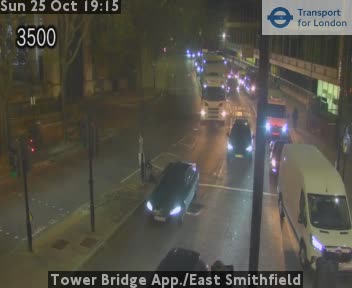
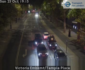
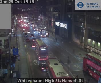
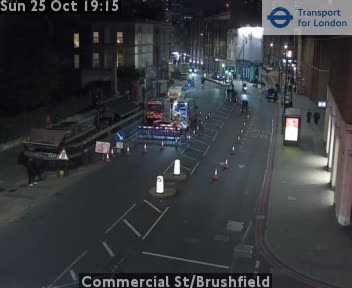
Cameras at the City's edges
TfL traffic cameras, still images that refresh every few minutes. Reload this page for the latest.
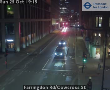
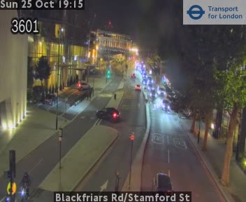
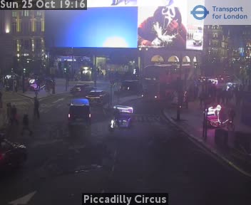
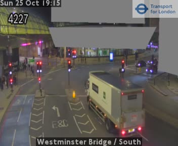
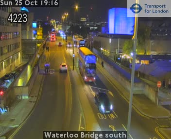
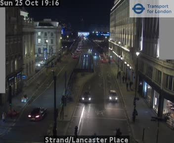
Cameras at London landmarks
TfL traffic cameras, still images that refresh every few minutes. Reload this page for the latest.
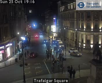
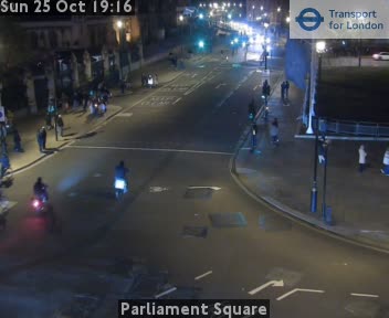
Cameras and Tube status: Powered by TfL Open Data. Contains OS data © Crown copyright and database rights 2016 and Geomni UK Map data © and database rights [2019]. Thames level: this uses Environment Agency flood and river level data from the real-time data API (Beta), Open Government Licence v3.0. Sunrise and sunset: our own calculation for Bank junction. City of London Live is independent and not endorsed by Transport for London, the Environment Agency or the City of London Corporation.